






African Country Maps
59 products
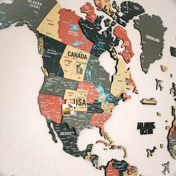
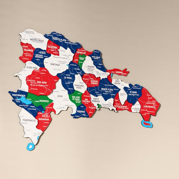
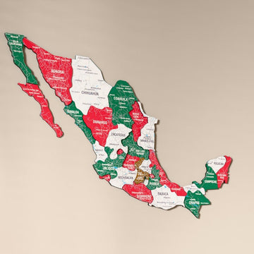
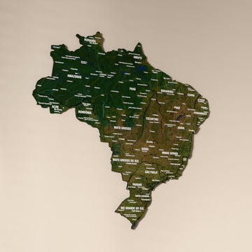
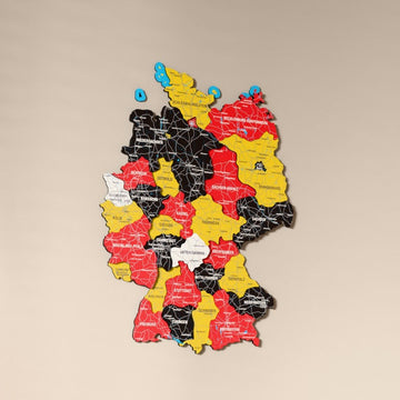
A layered wooden map of the whole of Africa and maps of more than 40 African countries, in natural wood or UV printed flag colors and satellite images.


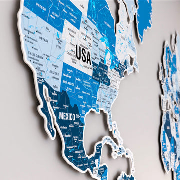
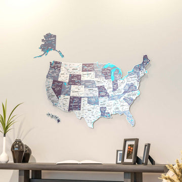
Our African maps cover the continent as a whole and more than 40 single countries, from Egypt and Morocco to Kenya, Nigeria and South Africa. Most of them are UV printed wooden maps in four sizes, alongside natural layered wood maps for a few countries.
Which African maps are there?
| Map | Style | Sizes |
|---|---|---|
| 3D Wooden Multilayered Africa Map | The whole continent in multicolor wood layers | 54 x 60 and 81 x 90 cm |
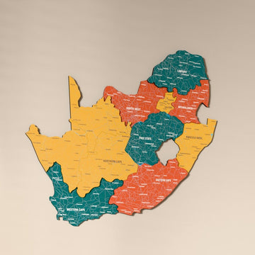
| Natural wood country maps | Egypt, Morocco, Libya, South Africa, Somalia and Senegal in layered wood | Three sizes, 40 to 92 cm |
| UV printed country maps | Kenya, Nigeria, Ghana, Ethiopia and many more in flag colors, satellite image, Nimbus, Sage or Soil | Four sizes, 50 to 160 cm |
Which African countries can I find here?
North Africa is covered by Egypt, Libya, Tunisia, Algeria, Morocco and Sudan. West Africa includes Senegal, Gambia, Guinea, Guinea-Bissau, Sierra Leone, Liberia, Ivory Coast, Ghana, Togo, Benin, Burkina Faso, Mali, Nigeria and Cameroon. In East Africa there are Ethiopia, Somalia, Djibouti, Kenya, Tanzania, Rwanda, Burundi, South Sudan, Madagascar and Mauritius, and Central and Southern Africa bring Chad, the Central African Republic, both Congos, Gabon, Equatorial Guinea, Angola, Zambia, Malawi, Mozambique, Zimbabwe, Namibia, Lesotho and South Africa.
Frequently asked questions
What does the Satellite option show?
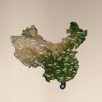
It prints the real satellite image of the land onto the wood, so deserts, forests and coastlines appear in their natural colors instead of a flat palette.
Can I get a map in my country's flag colors?
Yes. Every UV printed map has a flag option named after its country, such as Kenya Flag or Nigeria Flag, which colors the map in that national flag.
For maps of other regions, see country maps.