


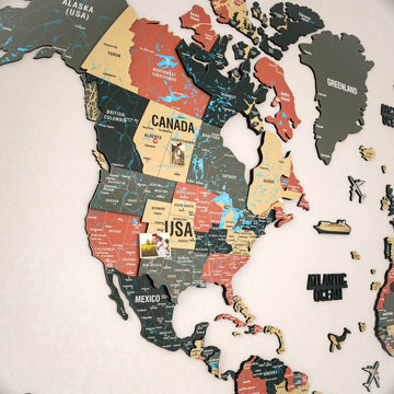

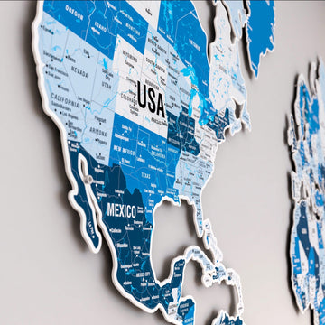

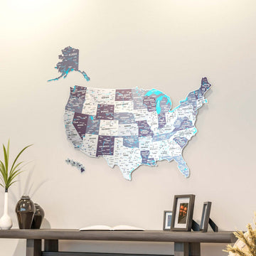


Caribbean & Central America Maps
37 products
Wooden maps of 19 Caribbean and Central American countries, from Puerto Rico, Jamaica and the Dominican Republic to Guatemala and Costa Rica, in wood, UV print or cork.


Our Caribbean and Central America maps are wooden wall maps of the islands and the countries between Mexico and Colombia. The collection holds 35 maps of 19 countries, in natural layered wood with city names, UV printed wood or framed cork.
Which maps are there for each country?
| Country | Styles | Largest size |
|---|---|---|
| Puerto Rico | Layered wood with cities, UV printed, framed cork | 180 x 64 cm |
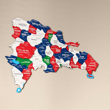
| Dominican Republic | Layered wood with city names, UV printed | 160 x 104 cm |
| Jamaica | Layered wood, UV printed, framed cork | 230 x 86 cm |
| Haiti and Cuba | Layered wood, Haiti also UV printed | 135 x 103 cm |
| Guatemala, Costa Rica, El Salvador | Layered wood, UV printed, framed cork | 150 x 143 cm |
| Honduras, Nicaragua, Panama | Layered wood, UV printed | 205 x 86 cm |
| Belize and the smaller islands | UV printed for Belize, Barbados, Dominica, Grenada, Saint Kitts and Nevis, Saint Lucia, Saint Vincent and the Grenadines, Trinidad and Tobago | 160 cm |
Frequently asked questions
Why are the island maps so wide?
The maps follow each island's shape. Puerto Rico, Jamaica and Cuba stretch east to west, so they come out wide and low and fit well above a sofa, a bed or a long console.
Can I pin the towns I have visited?
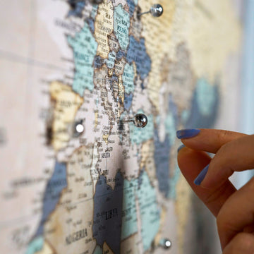
Yes. The framed cork maps of Puerto Rico, Jamaica, Guatemala, Costa Rica and El Salvador take pins and come in a black or white frame.
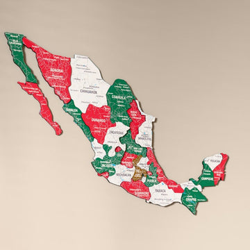
Mexico, the USA and Canada are in North America maps.