






North America Country Maps
9 products
Wooden, metal and cork wall maps of the United States, Canada and Mexico, from a 30 cm cork travel map to a 200 cm UV printed Mexico map.


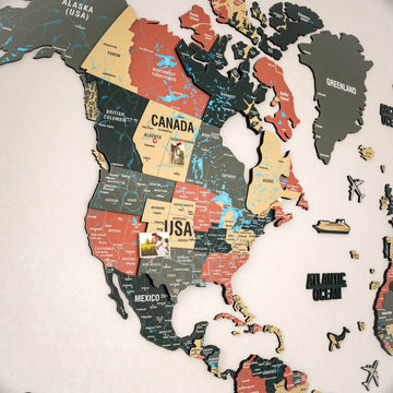
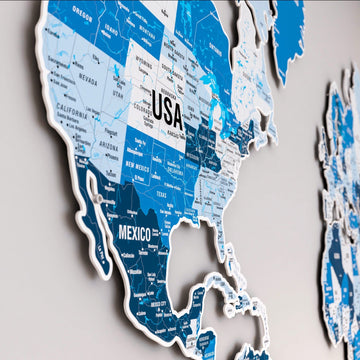
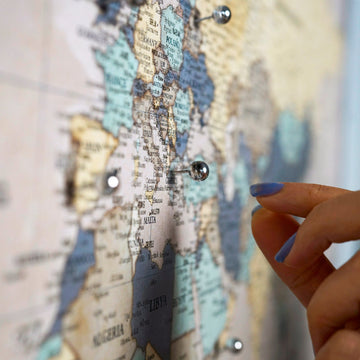
Our North America maps are wooden, metal and cork wall maps of the United States, Canada and Mexico. There are 9 of them, from a 30 cm cork travel map to a 200 cm UV printed map of Mexico.
Which North America maps are there?
| Country | Maps | Sizes |
|---|---|---|
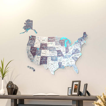
| United States | Layered wood with cities, UV printed in flag colors or five palettes, metal with states, framed and personalized cork maps | 30 to 180 cm |
| Canada | Layered wood in multicolor tones | 40, 60 and 90 cm |
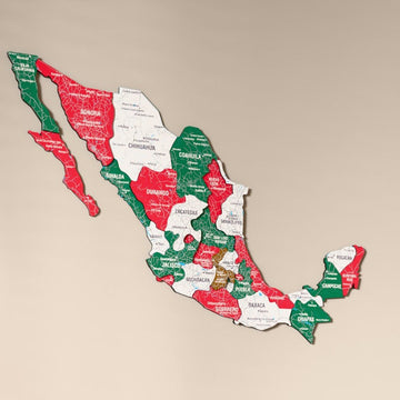
| Mexico | Layered wood, a second wooden design and a UV printed map in flag colors or solid tones | 40 to 200 cm |
Which wooden US map is the right one?
The layered wood USA map shows city names and suits a study or a hallway up to 90 cm. For a living room centerpiece, the UV printed USA map goes up to 180 x 140 cm in the colors of the flag. If you want to track the states you have visited, the personalized cork map takes pins and a custom title.
Frequently asked questions
Where are the maps of single US states?
Maps of Texas, Florida, California and other states are in USA and US state maps.
Where are Puerto Rico, Cuba and Central America?
The islands and Central American countries have their own page, Caribbean and Central America maps.